Showing 53 results
Archival description
Selected images, courtesy of Anthony Hopkins. 1

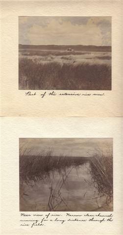
Selected images, courtesy of Anthony Hopkins. 4
Joyce C. Lewis fonds
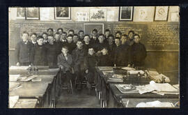
Students and teacher in a classroom in Lakefield, Ontario
Sample Image
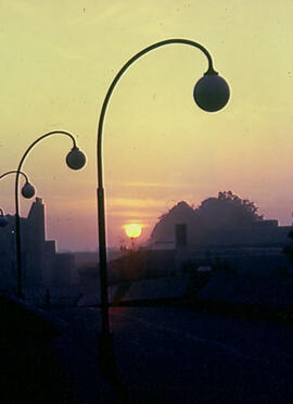
Faryon Bridge at Sunset (Science Complex in the background)
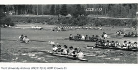
Photograph of multiple rowing teams on the Otonabee River
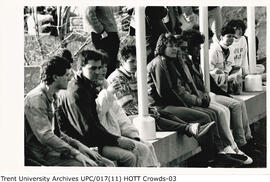
Photograph of Head of the Trent crowds
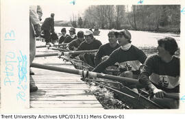
Photograph of a Trent men's rowing team docked
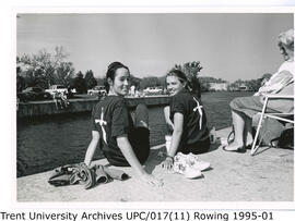
Photograph of young female Trent rowers
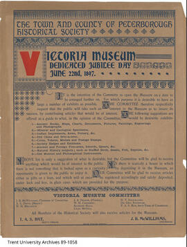
Victoria Museum jubilee poster
![William John Standen [Photograph by Andrew Ronald Jr. Studio, Minesing, Ontario]](/uploads/r/trent-university-archives/a/7/c/a7c8498aafc19613f58a3ac88df15f4d24c109def036c56860c0cf71c741c2c6/87-006-001-09a_142.jpg)
William John Standen [Photograph by Andrew Ronald Jr. Studio, Minesing, Ontario]
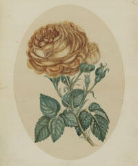
Watercolour of flowers by Susanna Moodie
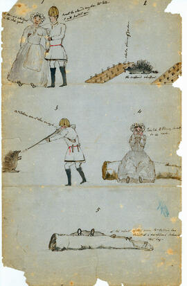
Illustration 1
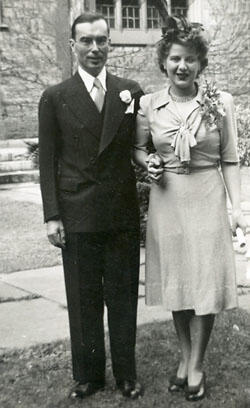
Kenneth & Martha Kidd Wedding photograph, 9 October 1943, Toronto
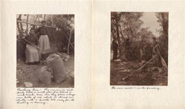
Selected images, courtesy of Anthony Hopkins. 2
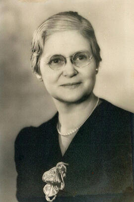
Gladys G. Stacey fonds
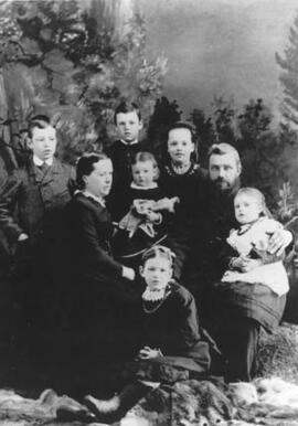
Then Standen family (left to rig): John, Andrew, Mary Elizabeth (May Beth), William John, Annie (on William's knee); Mary Ronald (left, seated); Ruth (holding doll); Frances (seated in front)
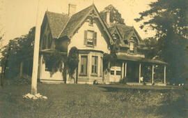
Reydon Manor, Lakefield, Ontario
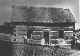
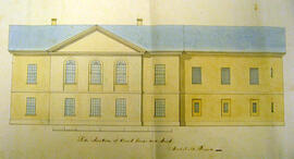
School house, Dummer Township, Peterborough County, ca. 1830

World. Cary, John, ca. 1754-1835. A new chart of the world, on Mercator's projections. Exhibiting the tracks & discoveries of the most eminent navigators, to the present period. London, published by J. Cary Engraver & Map Seller, no. 181 Strand - April 28, 1811, 21761
Sample Image
Sample Image
Sample Image
Founder's Walk by the Library