Showing 42 results
Archival description![Arctic Regions. 1680? De Wit, Frederick Poli Arctici et circumiacentium terrarum descriptio novissima per Fredericum de Wit Amstelodami. [Amsterdam, 1680?] Coloured. "Gedruckt i Amsteldam by Frederick de Wit in de Valverstract aen den Dam in de Wit paseaert"](/uploads/r/trent-university-archives/4/d/1/4d1c8177182fc5b22deb00d0eea3ae725cb0261e610b5b1ea241232aca447139/poliartici_142.jpg)
Arctic Regions. 1680? De Wit, Frederick Poli Arctici et circumiacentium terrarum descriptio novissima per Fredericum de Wit Amstelodami. [Amsterdam, 1680?] Coloured. "Gedruckt i Amsteldam by Frederick de Wit in de Valverstract aen den Dam in de Wit paseaert"
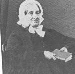
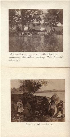
Frances Stewart fonds. 1978 additions

World. Cary, John, ca. 1754-1835. A new chart of the world, on Mercator's projections. Exhibiting the tracks & discoveries of the most eminent navigators, to the present period. London, published by J. Cary Engraver & Map Seller, no. 181 Strand - April 28, 1811, 21761
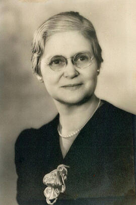
Gladys G. Stacey fonds
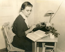
Fern Rahmel fonds. 2010 additions
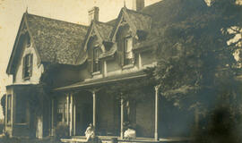
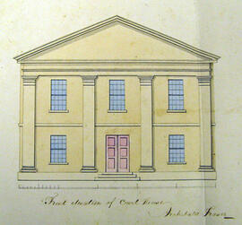
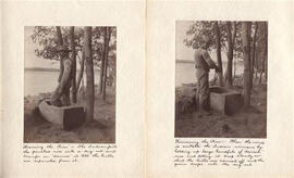
Reydon Manor, Lakefield, Ontario
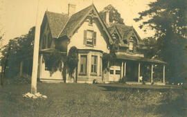
Reydon Manor, Lakefield, Ontario
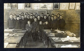
Students and teacher in a classroom in Lakefield, Ontario
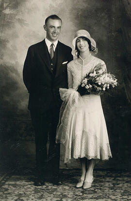
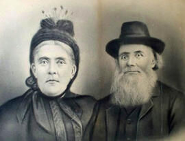
Sydney Helmer Standen and Euphemia Young McQueen on their wedding day, Saskatoon (Photo credit: Gibson Photos, Saskatoon)
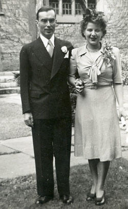
Kenneth & Martha Kidd Wedding photograph, 9 October 1943, Toronto
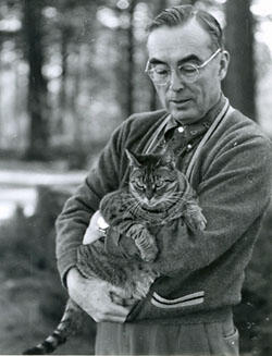
Kenneth Kidd & Miquette, 1960
Selected images, courtesy of Anthony Hopkins. 3
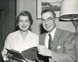
Martha & Kenneth Kidd (Photo credit: Jack Marshall)
Photograph of Hugh and Annie Caldwell, courtesy of Leonard Caldwell.
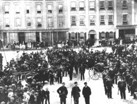
Peterborough Fire Brigade, n.d.
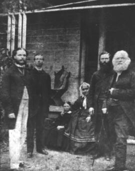
The Moodie Family, n.d.
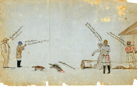
Illustration 2
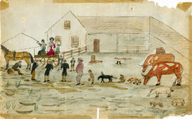
Illustration 3
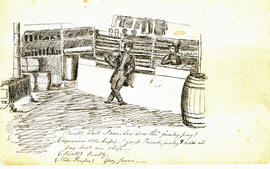
Illustration 5
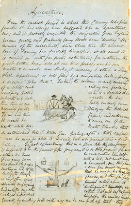
Illustration 7
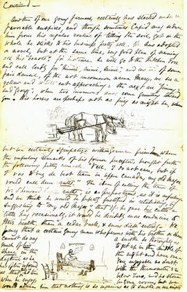
Illustration 9
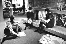
Fireplace and common area in Wallis Hall? (b&w)
Sample Image
Sample Image
Illustration 6